

-15%
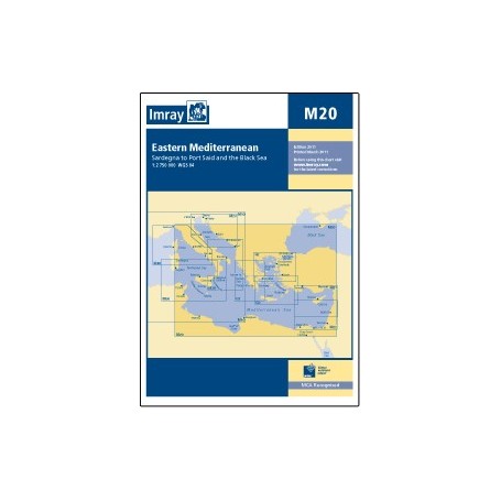
Imray chart m20: eastern mediterranean
 100% secure payments


Large coverage of the coasts.
Folding letters, printed on waterproof Pretex paper. Sheet size 640 x 900mm.
All Imray cartography is based on the WGS84 geodetic projection system and all indications are metric.
They are supplied in transparent PVC covers.
Scale: 1:2,750,000 WGS84
Folding letters, printed on waterproof Pretex paper. Sheet size 640 x 900mm.
All Imray cartography is based on the WGS84 geodetic projection system and all indications are metric.
They are supplied in transparent PVC covers.
Scale: 1:2,750,000 WGS84