





€133.10
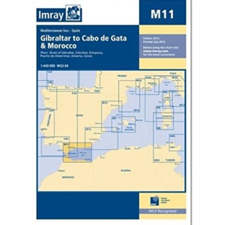

Imray chart m11: gibraltar to cabo de gata and morocco

Free in-store pickup

International shipping

100% secure payment

14-day easy returns
Large coverage of the coasts.
Folding letters, printed on waterproof Pretex paper. Sheet size 640 x 900mm.
All Imray cartography is based on the WGS84 geodetic projection system and all indications are metric.
They are supplied in transparent PVC covers.
Plans included:
Strait of Gibraltar (1:275 000)
Gibraltar (1:50 000)
Estepona (1:15 000)
Puerto de Almerimar (1:10 000)
Almería (1:25 000)
Ceuta (1:20 000)
Folding letters, printed on waterproof Pretex paper. Sheet size 640 x 900mm.
All Imray cartography is based on the WGS84 geodetic projection system and all indications are metric.
They are supplied in transparent PVC covers.
Plans included:
Strait of Gibraltar (1:275 000)
Gibraltar (1:50 000)
Estepona (1:15 000)
Puerto de Almerimar (1:10 000)
Almería (1:25 000)
Ceuta (1:20 000)
16 other products in the same category:

Last items in stock
€92.57
€108.90

€599.00

€56.01
€65.89

€160.00

€249.99

€28.29
€33.28

In Stock
€40.50
€47.65

€5.88
€6.92
€104.50

In Stock
€47.12
€55.44

€44.79
€52.69

€38.49
€45.29

€87.98
€103.51

€32.91
€38.72

€229.99