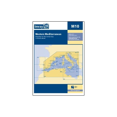
Imray chart m10: western mediterranean
zoom_out_map
Imray chart m10: western mediterranean
*Image shown is for representation only; actual product may vary.

Imray chart m10: western mediterranean

€51.48  Tax included

€42.55 Tax excluded

24h - 48h business days in Spain
new_releases  In Stock
Free in-store pickup
International shipping
100% secure payment
14-day easy returns
Large coverage of the coasts.
Folding letters, printed on waterproof Pretex paper. Sheet size 640 x 900mm. Waterproof. Folded in plastic wallet or flat.
All Imray cartography is based on the WGS84 geodetic projection system and all indications are metric.
They are supplied in transparent PVC covers.
IMRAY
1803
New
4 Items
9781786793546
16 other products in the same category:
//