

In Stock
€73.88
€92.35

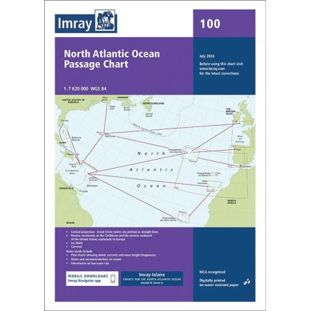

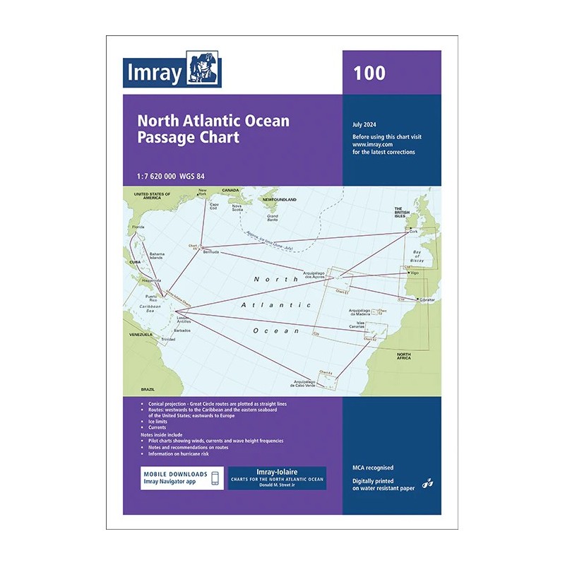


The Imray Chart 100 North Atlantic Ocean Passage Chart is an essential tool for planning ocean crossings across the North Atlantic, specifically designed for offshore sailors and transoceanic navigation.
At a scale of 1:7,620,000, it covers a vast area from Brazil to Newfoundland and from Gibraltar to the Caribbean, providing a comprehensive overview ideal for long-distance route planning.
Constructed using a conical projection, this chart allows Great Circle routes to be plotted as straight lines, simplifying offshore navigation. It includes key information such as depth contours, ice limits, magnetic variation and principal sailing routes identified by Donald M. Street Jr.
On the reverse and within the accompanying booklet, pilot charts provide detailed data on winds, currents and wave height frequencies, along with guidance on optimal routing seasons and hurricane risk, making it a valuable reference for weather-based passage planning.
Printed on water-resistant paper and supplied folded in a practical format, it is a durable and reliable chart suitable for onboard use in demanding conditions.
An indispensable chart for sailors planning Atlantic crossings with accuracy and confidence.