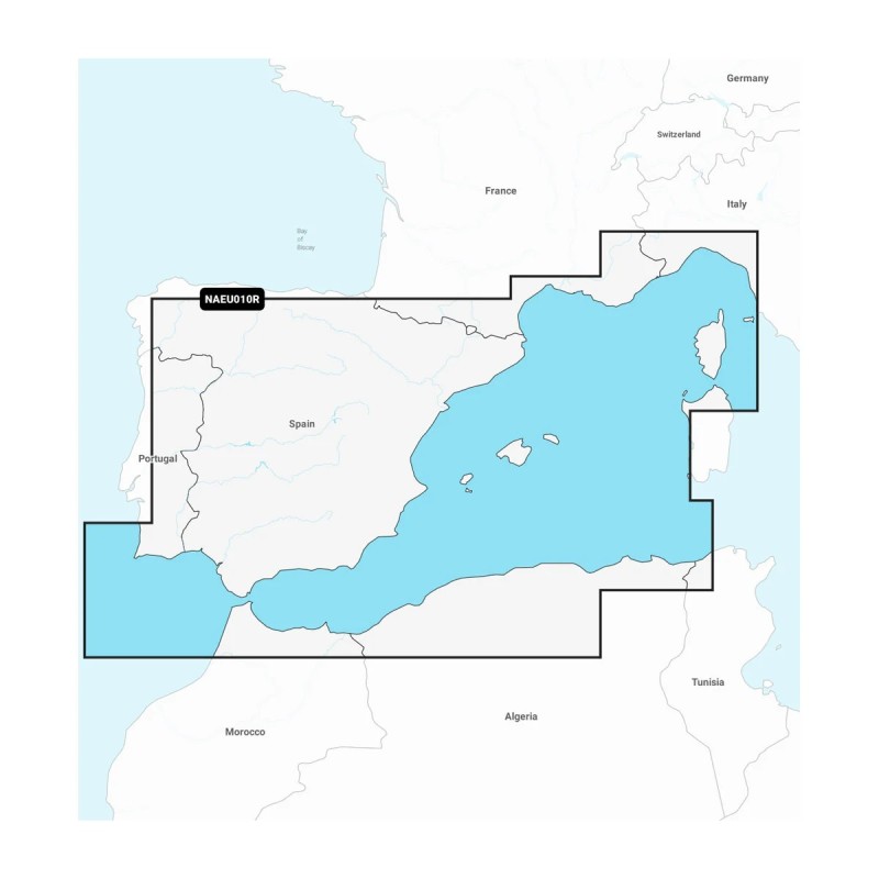
Garmin's Navionics+ charting solution, featuring vivid colours, an intuitive interface and coastal and continental content combined with a popular Navionics®-style colour palette, makes it easy to create a course plot with the world's #1 nautical maps1.
Navigate with our best coastal and inland lake coverage on your Garmin chartplotter.
View your way. Customise your view with various combinations of map layers and overlays.
With the included one-year subscription, access daily updates through the ActiveCaptain® smart device app.
Auto Guidance+ (Auto Route) technology2 lets you navigate with recommended dock-to-dock routes.
Select up to 10 colour-shaded target depth ranges to locate the best fishing spots.
Save by renewing your subscription and continue to access daily updates and new content downloads.