

-15%
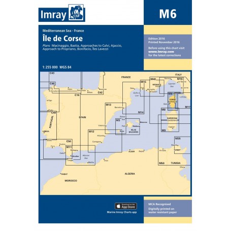
Imray chart m6: la corse
 100% secure payments


Large coverage of the coasts.
Folding letters, printed on waterproof Pretex paper. Sheet size 640 x 900mm.
All Imray cartography is based on the WGS84 geodetic projection system and all indications are metric.
They are supplied in transparent PVC covers.
Plans included:
Macinaggio (1:10 000)
Bastia (1:15 000)
Approaches to Calvi (1:35 000)
Ajaccio (1:12 500)
Approach to Propriano (1:20 000)
Bonifacio (1:12 500)
Îles Lavezzi (1:50 000)